Geological Survey
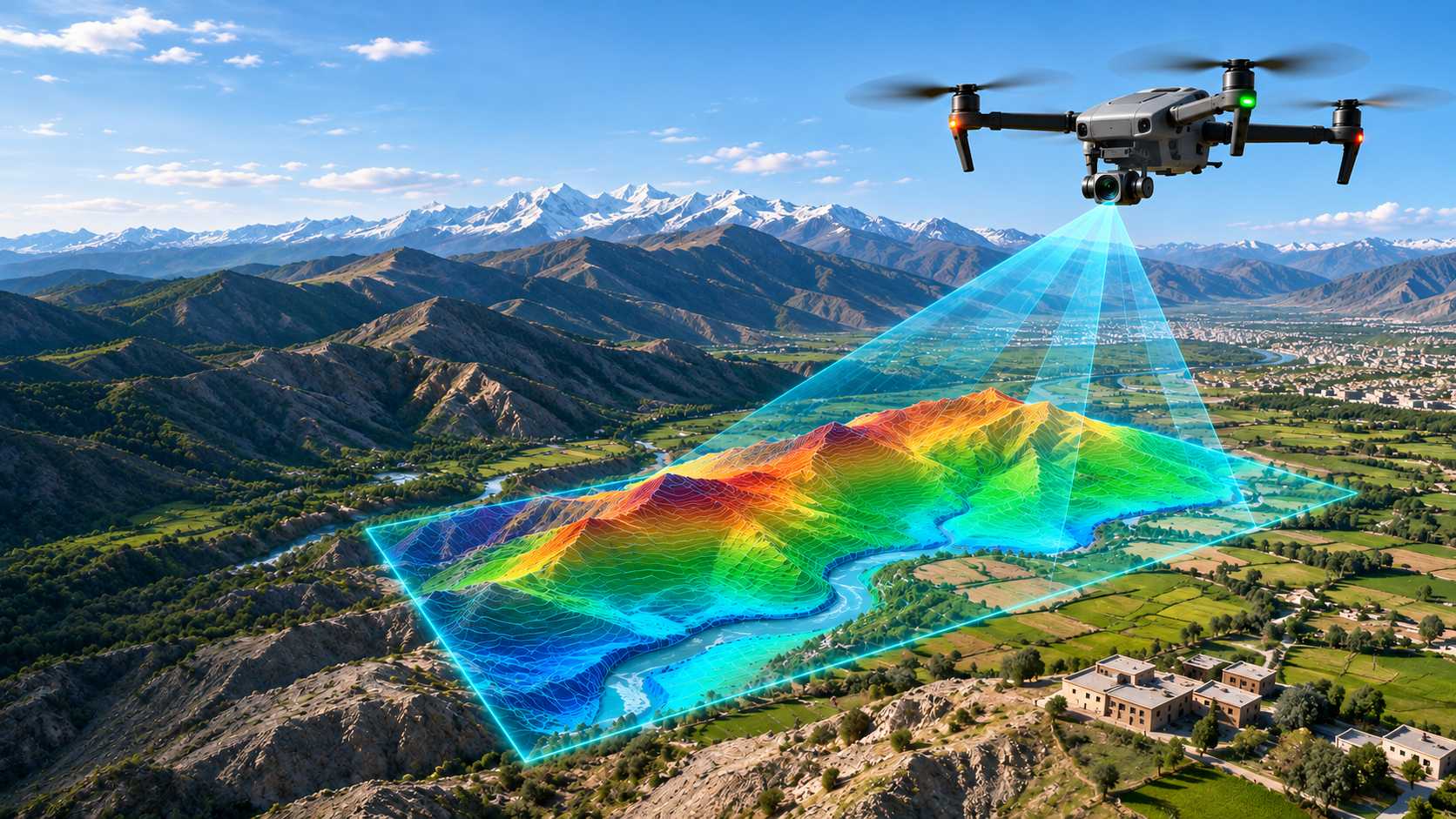
Detailed field mapping, structural analysis and lithological logging that build an accurate picture of the ground beneath you.
Understand the ground before you invest in it.
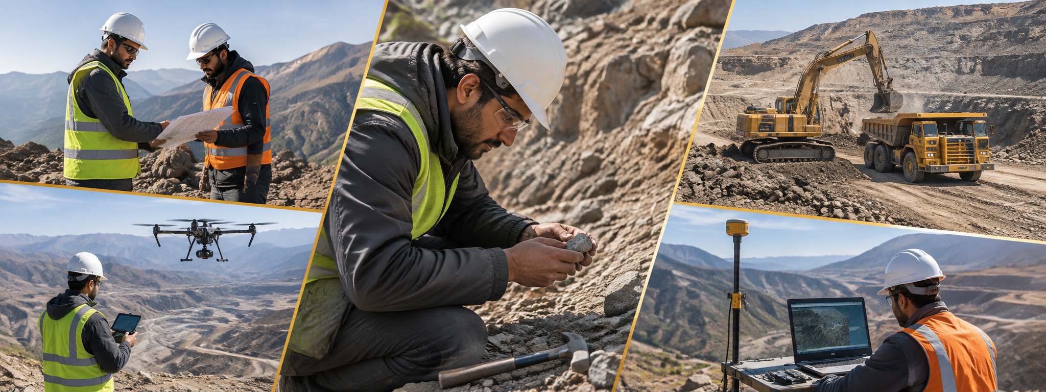
Our geological surveys provide a clear, reliable picture of the rocks, structures and mineralisation on your property. Led by experienced field geologists, we turn outcrops, samples and data into maps and models that guide every decision that follows, from drilling to mine planning.
All field data is captured digitally, georeferenced and managed in a central GIS database, so maps, sections and 3D models stay consistent as new information arrives and can be shared directly with your technical team, investors and regulators.
Accurate geology is the foundation of every mining project. Our surveys reduce uncertainty, improve drilling success rates and give stakeholders data they can trust.
What we offer
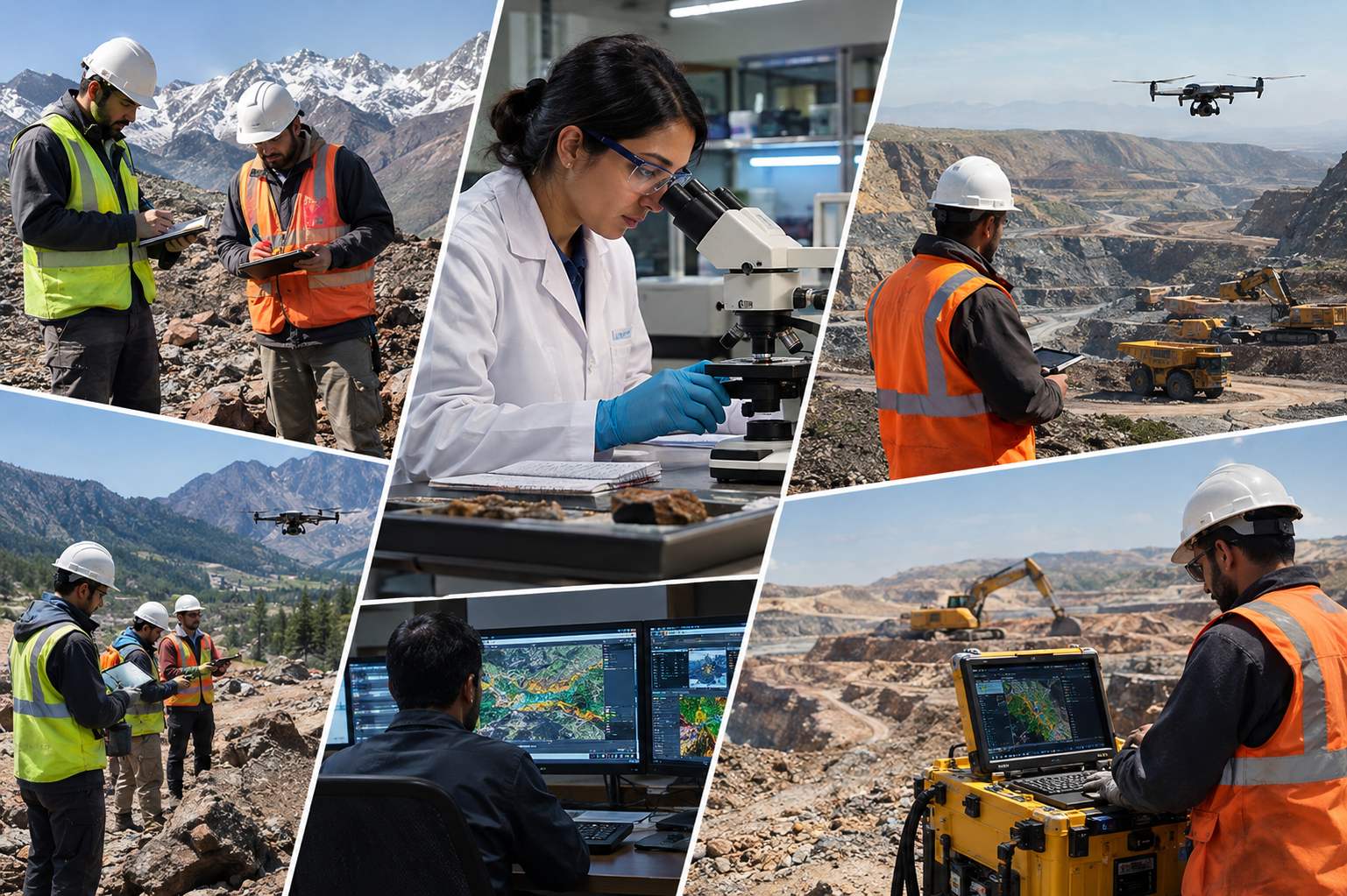
Every engagement is scoped to your project. Contract a single capability or the complete package, delivered by one accountable team.
in Geological Survey
- 01
Regional and detailed geological mapping
- 02
Structural and lithological analysis
- 03
Ground geophysical surveys (magnetic, IP/resistivity, gravity and radiometric)
- 04
Systematic sampling and core logging
- 05
3D geological modelling and GIS database management
- 06
Independent geological reports for investors, lenders and regulators
Our process
-
01
Planning
Scope, scale and data review against project goals.
-
02
Mapping
Field traverses, outcrop logging and sampling.
-
03
Interpretation
Structural model, sections and lithology maps.
-
04
Reporting
Survey report with targets and recommendations.
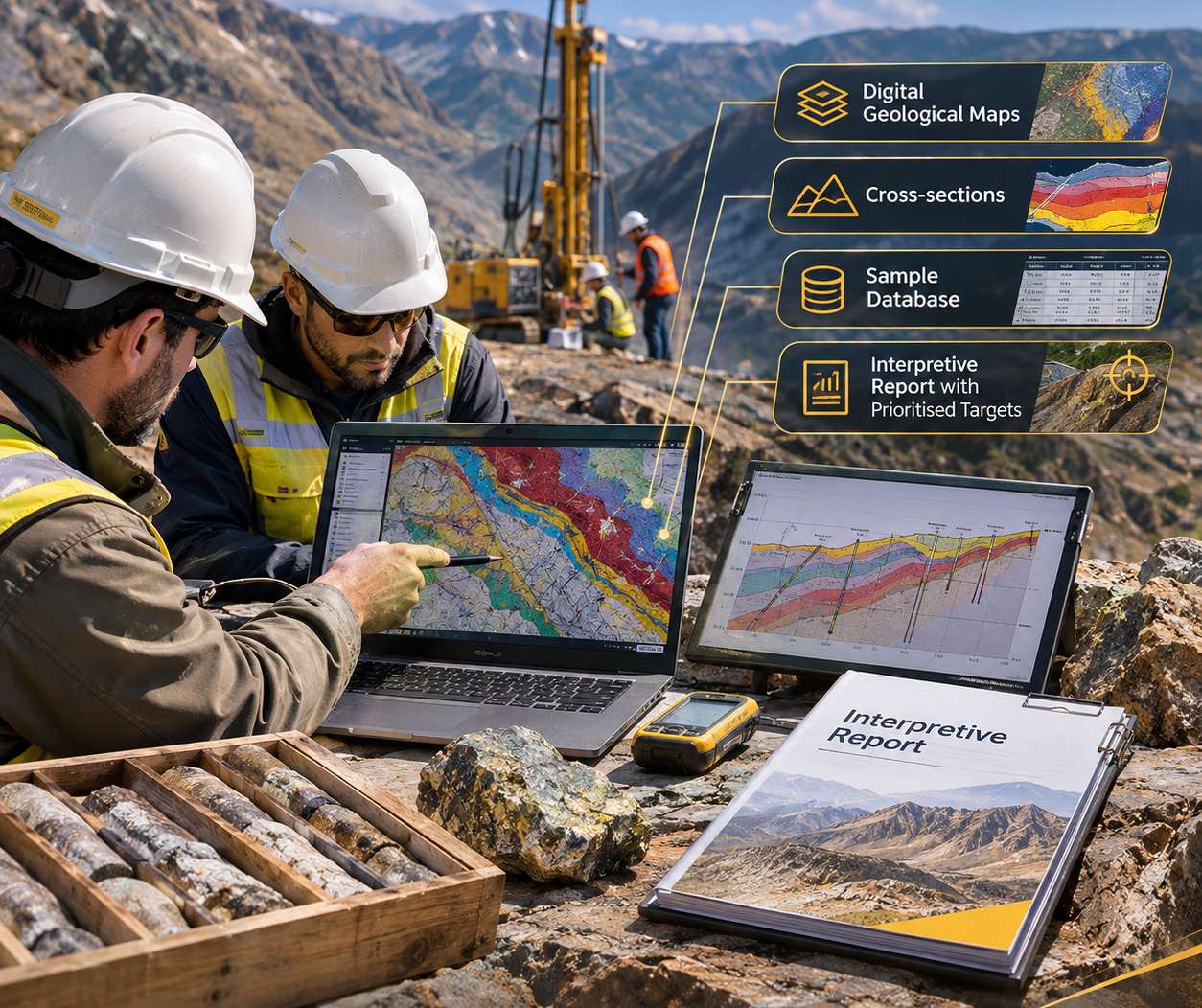
What you get
Digital geological maps, cross-sections, sample database and an interpretive report with prioritised targets.
- Clearly defined scopeAgreed deliverables, timeline and budget
- Milestone sign-offsYou approve every stage before we move on
- One accountable teamA single point of contact from start to finish