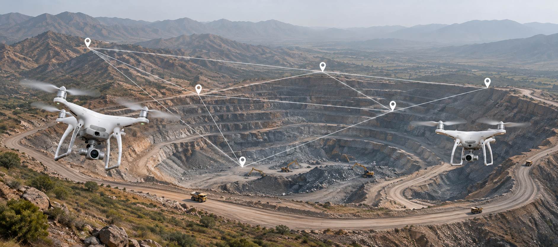
Drones on Pakistani mine sites: faster, safer surveys
Drones measure stockpiles to about 97–99% accuracy and inspect high walls without risking crews. How to use them on Pakistani mine sites, rules included.
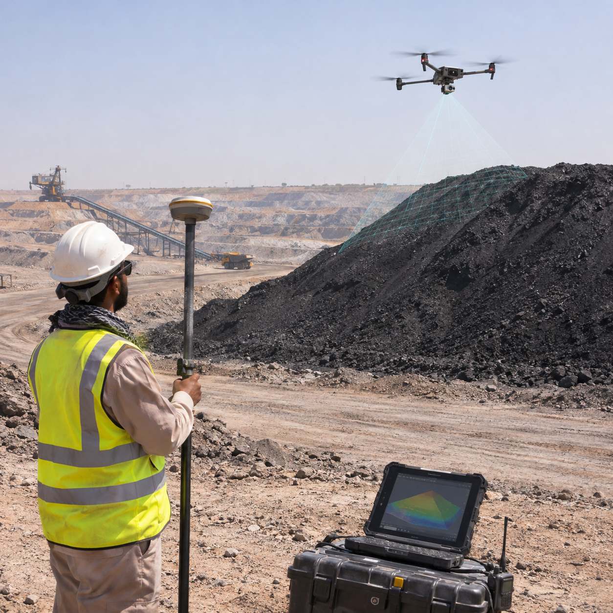
Picture a surveyor on a coal stockpile at Thar in June.
Loose footing, 45°C heat, a GPS pole and a long day ahead. A drone does that job from the air in minutes, and nobody climbs anything.
That's the simple case. The bigger one is data you can trust, every week.
What drones do well on site
in this chapter
- 01
Stockpile volumes
Hundreds of overlapping photos become a 3D model of the pile. Published field results put accuracy at roughly 97–99%. One operator said a two-day stockpile job now takes about ten minutes of flying. For coal, chromite or aggregate yards, that means honest inventory and cleaner billing.
- 02
Weekly pit progress
Compare this week's surface with last week's and the cut-and-fill volumes fall out. Planners see whether the pit follows the approved mine plan, which matters when the mines department inspects.
- 03
Blast feedback
Fly before and after a blast. Engineers measure throw, muckpile shape and volume broken, then adjust the next pattern.
- 04
High walls and tailings
Benches, slopes and tailings dams can be checked from a safe distance. Cracks and bulges show up in the imagery well before they turn into a failure.
- 05
Mapping hard ground
In Balochistan's ranges or KP's steep valleys, a drone maps outcrops that would take a field team days to reach.
The Pakistan rulebook
This is where many projects stall. The Pakistan Civil Aviation Authority regulates drones, and its Civil Unmanned Aircraft Rules 2024 require registration. In practice, operators have also needed security NOCs, sometimes for each survey. Flying near military areas is off-limits.
Budget weeks, not days, for approvals. Start the paperwork before the drone lands in the country.
What we've learned
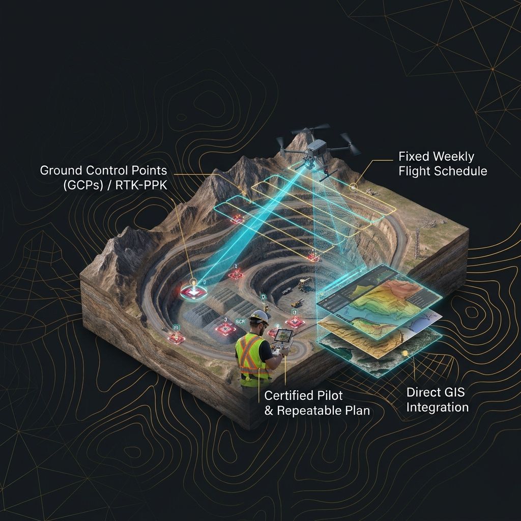
Accuracy comes from method, not the drone. Use ground control points or an RTK/PPK drone, fly on a fixed schedule, and feed results straight into your GIS. A certified pilot who flies the same plan every week beats an expensive drone flown differently each time.
Want weekly survey numbers from your site? Talk to an engineer.
Talk to an engineerSources & further reading
Facts and figures in this article are drawn from the publications below.
- 01GAO Tekdrone volume accuracy
- 02Inside Unmanned Systemsdrones in mining
- 03SDPICivil Unmanned Aircraft Rules 2024
- 04PIDENOC and per-survey permissions
- 05Minute Mirrordrone registration