.jpg)
GIS in Pakistan's mines: mapping the other 60%
Only about 40% of Pakistan is geologically mapped. Here's how GIS helps miners find ore, plan pits and prove compliance in Balochistan, Sindh and KP.
Officials say only about 40% of Pakistan has been geologically mapped.
That leaves most of Balochistan's ranges, Sindh's desert and KP's mountains as educated guesses. GIS is how we stop guessing.
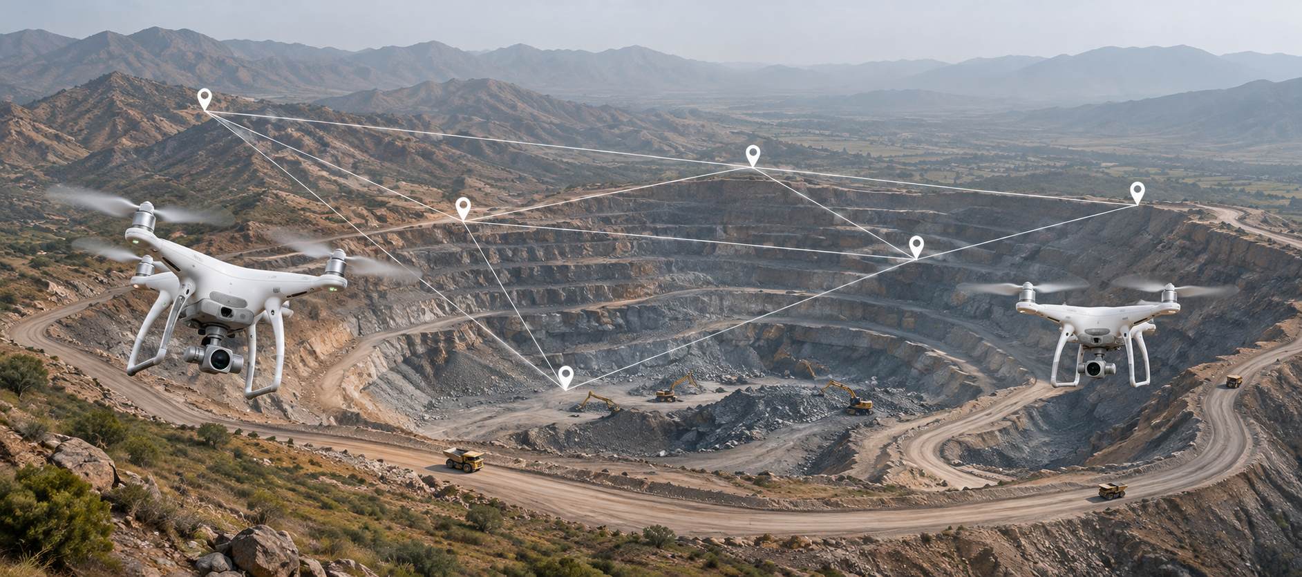
A Geographic Information System puts every layer of a site on one map: geology, terrain, satellite images, drill holes, roads, villages, streams and lease boundaries. On its own, each layer tells you a little. Stacked together, they tell you where to dig, where not to, and why.
.jpeg)
Pakistan is finally building the base map
The groundwork is moving. In April–July 2026 a UK-funded programme trained the Geological Survey of Pakistan (GSP) in digital surveying, airborne geophysics and GIS. The government is also preparing a National Mineral Data Centre that will pull GSP and provincial data into one digital platform. Punjab has already geo-tagged more than 3,800 mineral sites.
For operators, this means better public data to build on. It doesn't replace your own site GIS.
Where GIS pays on a Pakistani site
in this chapter
- 01
Exploration in rough ground
In Chagai or Khuzdar, walking every ridge is slow and risky. Overlay GSP maps, geochemistry and satellite alteration data, and field teams can go straight to the strongest targets.
- 02
Pit and haul-road design
Test pit shells against terrain and geology before a single excavator moves. Route haul roads for grade and drainage. Keep waste dumps away from streams and settlements.
- 03
Monsoon and flood risk
After 2022, nobody in Sindh needs convincing. GIS flood and drainage models show which benches, roads and stockpiles sit in harm's way.
- 04
Environmental proof
Repeat imagery tracks disturbed land, dust and water around the mine. When EPA or a lender asks for evidence, the map answers.
- 05
Lease and boundary records
Boundary disputes are common in Balochistan and KP. Accurate lease polygons, approved mine plans and progress maps in one system cut those arguments short.
.jpeg)
What we've learned
A GIS is only as current as its last update. We pair ours with regular drone surveys and the drill-hole database, and one person owns the master map. Without that discipline you get a beautiful map of last year.
Opening a new site in Pakistan? Talk to an engineer about how we map, plan and report from day one.
Talk to an engineerSources & further reading
Facts and figures in this article are drawn from the publications below.
- 01Business Recorder40% mapped
- 02UK GovtGSP partnership
- 03Business RecorderNational Mineral Data Centre
- 04Daily TimesPunjab 3,800+ sites
- 05EsriGIS across the mining value chain